Sluice Boxes State Park
Belt, Montana
Physical Address:
38 Evans Riceville Rd., Belt, MT 59412
Mailing Address:
4600 Giant Springs Road, Belt, MT 59405
Contact Info
About Sluice Boxes State Park
When mining was king in Montana, railroad tracks snaked through mountain ranges to reach small boom towns and haul ore to market. One such mining area lay in the Little Belt Mountains south of Great Falls. The mining towns of Monarch, Neihart, Hughesville and Albright thrived briefly while the ore held out. Today, only the small recreational communities of Monarch and Neihart remain. Hughesville and Albright are ghost towns and trains no longer chug through the canyons. One railroad ran up Belt Creek and the abandoned railroad bed is now the main component and access route of Sluice Boxes State Park.
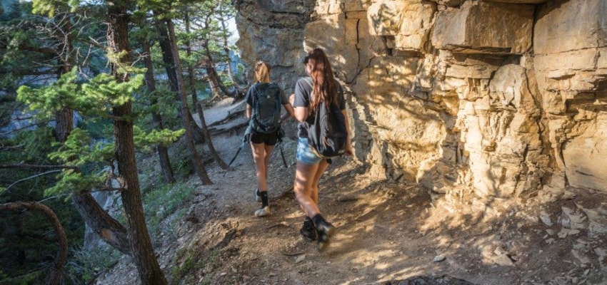
Soaring cliffs and precipitous ledges mark the Belt Creek Canyon as it slices out of the Little Belt Mountains and winds toward the town of Belt. Sluice Boxes State Park, established in 1970, consists of the northern most 8 miles of the Belt Creek canyon. The train bridges have been removed and visitors must ford the creek - a difficult proposition during high water flows. Because of these crossings, hiking in the Sluice Boxes is limited to low water season, generally mid-July through September. The spring-fed water is always cold and weather in the Little Belts changes often and quickly. Be prepared. For the intrepid traveler, trout fishing in Belt Creek, spectacular scenery and many wildlife species await.
Length: 7.5 miles -- Township 16N; Range 6E; Section 26
Trail Beginning: Riceville Bridge
Trail End: Logging Creek Bridge (no facilities available at this point)
USGS Map1: Riceville, MT
Sluice Boxes State Park Activities
Backcountry Camping
Bird Watching
Fishing
Hiking
History
Hunting
Photography
Picnicking
Rafting
Swimming
Wildlife Viewing
Sluice Boxes State Park Amenities
Pets Allowed
Toilets
Trail
Sluice Boxes State Park Reservations
Season
All Year
Hours
Sunrise to Sunset
About Belt, Montana

Settled as a coal camp by Finnish and Slavic immigrants, today Belt is better known for its beer than its coal. In the heart of Montana's grain country, and kept lush by wells and streams supplying some of the world's finest water, it comes as little surprise that Belt has attracted the attention of... ...
Learn More about Belt


