Cascade County, Montana
Land Area (sq mi): 2,698
Est. Population: 84,799
Persons/sq mi: 31.4

In Cascade County I-15 and US Hwys 87 and 89 join together in Great Falls, the county seat. The Missouri River and Sun River flow through the county and also meet in Great Falls.
Geographically, Cascade County is a mix of rolling plains and part of the Rocky Mountains, Little Belt and Highwood Mountains and the Adel Mountains volcanic field. Part of the Lewis & Clark National Forest sits within the county’s borders.
Transportation routes provide easy access to Glacier National Park to the north and Yellowstone National Park to the south. An international airport serves Great Falls and the surrounding area. The Lewis & Clark Expedition used the Missouri River for their transportation, choosing to come upriver until they encountered the formidable series of waterfalls. Today, Black Eagle Falls, Rainbow Falls, the submerged Colter Falls, Crooked Falls and the Great Falls of the Missouri all provide scenic views as water drops a total of 550 feet. Hydroelectric power dams on the falls generate electricity and provide economic stimulus to the area.
Communities
in Cascade County
Headed to Cascade County, Montana? Get to know the communities found in the county! When planning a trip across Central Montana, remember that not all of our communities offer full services and you won't always have cell service.


One of the largest freshwater springs in the United States bubbles up from a fracture in the earth’s limestone and forms Giant Springs. The springs flow at a rate of 156 million gallons of water per day and the temperature stays at 54 degrees. Giant Springs State Park adjoins the springs and is open year round.
Great Falls is a service area for much of the county with medical services, shopping, dining and entertainment. The Lewis & Clark National Historic Trail Interpretive Center, C. M. Russell Museum, The History Museum, Malmstrom Air Force Base Museum, Children’s Museum of Montana, Paris Gibson Square Museum of Art, Ursuline Centre and Galerie Trinitas offer endless opportunities for visitors and locals alike. The 49 mile River’s Edge Trail for nonmotorized use winds through the community and along the Missouri River. First People’s Buffalo Jump State Park, a National Historic Landmark, is located 15 minutes southwest of Great Falls in Ulm.
Attractions
in Cascade County
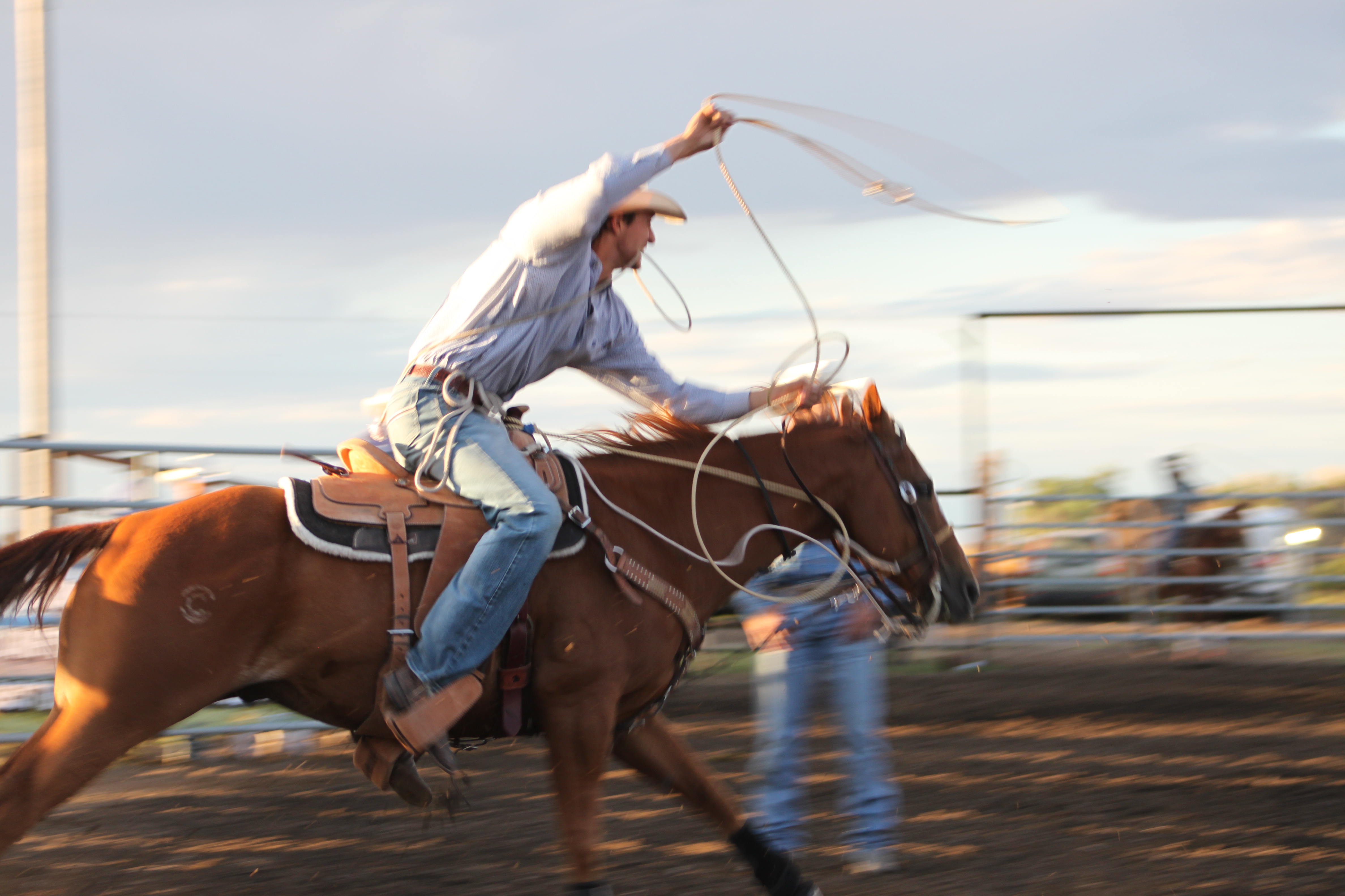
While visiting Cascade County you may be wondering what to do in the area beyond enjoying Central Montana's incredible wide-open spaces and outdoor recreation. Here are some of the can't miss attractions in Cascade County!

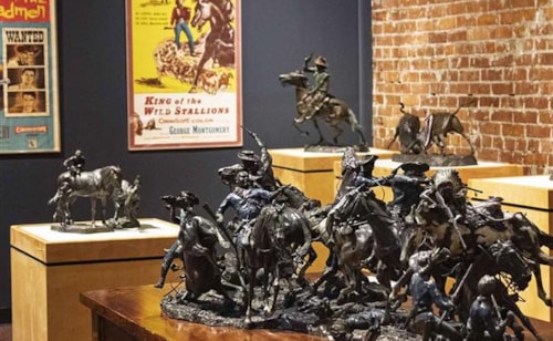
C.M. Russell Museum

Lewis and Clark Interpretive Center

First Peoples Buffalo Jump State Park

Giant Springs State Park

Sluice Boxes State Park

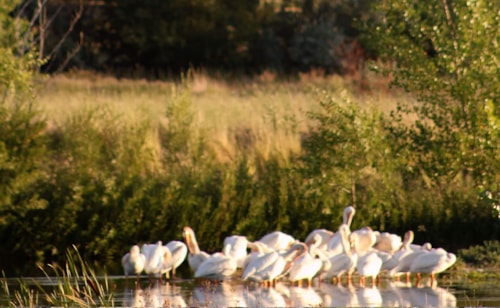
Benton Lake National Wildlife Refuge

Malmstrom Air Force Base Museum

Children's Museum of Montana
The History Museum

Paris Gibson Square Museum of Art

St. Peter's Mission
Black Eagle sits across the Missouri River from Great Falls. Smelting operations began this community although the smelter closed in the early 1980s. Several restaurants and bars in Black Eagle draw visitors.
The town of Cascade is also located on the Missouri River in a pristine recreation corridor upstream from Great Falls about 25 miles.
The town of Belt is 20 miles east of Great Falls and is nestled along Belt Creek. The nearby mountains are the Little Belts and they appear to have a belt around them, hence the town’s name.
Remnants of mining history can be seen in Tracy, Stockett, Sand Coulee and Centerville just east of Great Falls in an area locally referred to as “the Gulch”.
Sluice Boxes State Park on US Hwy 89 south of Belt offers hiking, fishing and birdwatching year round. Remnants of mines, a railroad and historic cabins can be seen in the park. The Kings Hill Scenic Byway runs from near Belt to White Sulphur Springs. At Kings Hills Pass locals and visitors alike enjoy winter recreation at Showdown Ski Area (downhill), Silver Crest X-C Area, and over 200 miles of groomed and marked snowmobile trails in the Little Belt Mountains. The small historic mining towns of Monarch and Neihart sit alongside US Hwy 89 and have lodging and dining.
From military history in Fort Shaw, to St. Peter’s Mission Catholic boarding school near Cascade, to the historic Mullan Road constructed from 1859 to 1862, the Sun River Valley is a history lover’s dream. Vaughn, Sun River and Simms are small towns dotting the highway in this valley. Iconic views are provided by Square Butte and Crown Butte.
Events
in Cascade County
The charming communities found throughout Montana's Cascade County cannot wait to welcome you to some of their favorite annual events. While there's so much to see and do in Central Montana, this is a quick hit list of Cascade County's annual events.