Mizpah Ridge Ski Trail
Neihart, Montana
About Mizpah Ridge Ski Trail
Length: 2.1 km of easiest, 2.2 km of more difficult and 1.2 km of most difficult trail; no grooming.Trail Begins: Kings Hill Pass parking lotTrail Ends: US Highway 89 Ranch CreekArea Map: Lewis and Clark (Jefferson Division)
Mizpah Ridge Ski Trail Activities
Cross-Country Skiing
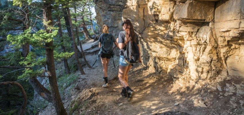
Hiking
Nature Area
Picnicking
Sightseeing
Wildlife Viewing
Mizpah Ridge Ski Trail Amenities
Trail
Mizpah Ridge Ski Trail Reservations
About Mizpah Ridge Ski Trail
Length: 2.1 km of easiest, 2.2 km of more difficult and 1.2 km of most difficult trail; no grooming.Trail Begins: Kings Hill Pass parking lotTrail Ends: US Highway 89 Ranch CreekArea Map: Lewis and Clark (Jefferson Division)
Mizpah Ridge Ski Trail Activities
Cross-Country Skiing
Hiking
Nature Area
Picnicking
Sightseeing
Wildlife Viewing
Mizpah Ridge Ski Trail Amenities
Trail
Mizpah Ridge Ski Trail Reservations
About Neihart, Montana

Located in the heart of the Little Belt Mountains and the Lewis and Clark National Forest, Neihart came into existence as a mining town. In fact, miners took some three million dollars worth of sapphires from the mountains around Neihart. Like many mining towns Neihart has endured several... ...
Learn More about Neihart