Memorial Falls Trail
Neihart, Montana
About Memorial Falls Trail
Distance: 3.0 miles
Trailhead: Trail Junction 734
Trail Ends: Trail Junction 416
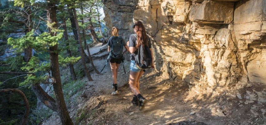
Memorial Falls Trail (738) is an excellent one hour round-trip hike with 0.5 mile walk to two scenic falls just off Highway 89. The trail winds along the creek. The recommended season of use is early summer to mid-autumn. Sightseeing and photography. This is a non-motorized trail.
Area Map: Lewis and Clark (Jefferson Division)
USGS Map1: Neihart
USGS Map2: Yogo Peak
Township 14N; Range 8E; Section 3
Memorial Falls Trail Activities
Bird Watching
Hiking
Picnicking
Sightseeing
Wildlife Viewing
Memorial Falls Trail Amenities
Trail
Memorial Falls Trail Reservations
About Memorial Falls Trail
Distance: 3.0 miles
Trailhead: Trail Junction 734
Trail Ends: Trail Junction 416
Memorial Falls Trail (738) is an excellent one hour round-trip hike with 0.5 mile walk to two scenic falls just off Highway 89. The trail winds along the creek. The recommended season of use is early summer to mid-autumn. Sightseeing and photography. This is a non-motorized trail.
Area Map: Lewis and Clark (Jefferson Division)
USGS Map1: Neihart
USGS Map2: Yogo Peak
Township 14N; Range 8E; Section 3
Memorial Falls Trail Activities
Bird Watching
Hiking
Picnicking
Sightseeing
Wildlife Viewing
Memorial Falls Trail Amenities
Trail
Memorial Falls Trail Reservations
About Neihart, Montana

Located in the heart of the Little Belt Mountains and the Lewis and Clark National Forest, Neihart came into existence as a mining town. In fact, miners took some three million dollars worth of sapphires from the mountains around Neihart. Like many mining towns Neihart has endured several... ...
Learn More about Neihart