Blacktail Trail
Choteau, Montana
About Blacktail Trail
Length: 4.5 miles
Trail Begins: Blacktail Trail
Trail Ends: Loop
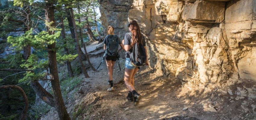
Blacktail Trail (223) is a pleasant, easy to moderately difficult hike through a predominantly forested environment. The upper reaches of the drainage open into large meadows with good views to Sawtooth Ridge and Sun River Canyon. The trail is more difficult as it climbs steeply over the pass dropping to the South Fork of Deep Creek. Obtain a Forest Visitor's map for any travel restrictions.
Area Map: Lewis and Clark (Rocky Mountain Division)
Blacktail Trail Activities
Hiking
Horseback Riding
Sightseeing
Wildlife Viewing
Blacktail Trail Amenities
Trail
Blacktail Trail Reservations
About Choteau, Montana

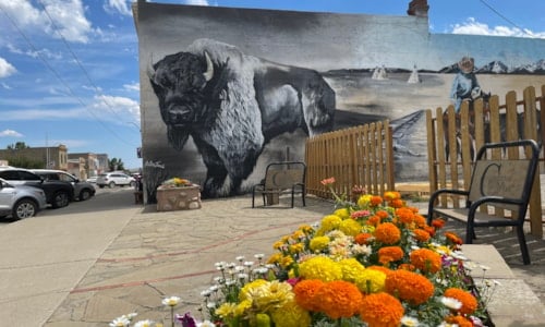
The Rocky Mountains soar near the town of Choteau, rising almost perpendicularly out of the northern plains. Choteau is the gateway to this spectacular stretch of mountains known as the Rocky Mountain Front. From Choteau, the Lewis and Clark National Forest adjoins the Bob Marshall Wilderness... ...
Learn More about Choteau


