Smith Creek Trail
Choteau, Montana
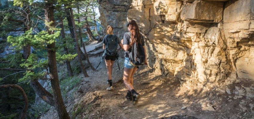
About Smith Creek Trail
Length: 5.2 miles
Trail Begins: Trailhead on County Road
Trail Ends: Trail 205
Much of Smith Creek Trail (215) is on private land that has been logged and burned in 1988.
Area Map: Lewis and Clark (Rocky Mountain Division)
USGS Map1: Jakie Creek
Township 19N; Range 8W; Section 17
Smith Creek Trail Activities
Bird Watching
Hiking
Horseback Riding
Nature Area
Picnicking
Sightseeing
Walking
Wildlife Viewing
Smith Creek Trail Amenities
Trail
Smith Creek Trail Reservations
About Choteau, Montana

The Rocky Mountains soar near the town of Choteau, rising almost perpendicularly out of the northern plains. Choteau is the gateway to this spectacular stretch of mountains known as the Rocky Mountain Front. From Choteau, the Lewis and Clark National Forest adjoins the Bob Marshall Wilderness... ...
Learn More about Choteau