


USFS Motor Vehicle Maps Available Online
Posted May 15, 2008
The Lewis & Clark National Forest now has motorized use maps available on their website at https://www.fs.usda.gov/r01/helena-lewisclark/maps-guides/motor-vehicle-use-maps A recently adopted travel plan has many changes to motorized roads so caution is urged when recreating on the forest in motor vehicles.
Maps available cover the Little Belt Mountains, Highwood Mountains, Big & Little Snowy Mountains, Crazy Mountains, Castle Mountains and the following areas on the Rocky Mountain Front: Badger-Two Medicine area, Teton Canyon, Sun Canyon, Benchmark area and Elk Creek area.
Call the ranger district offices listed on the website for questions on motorized use on the forest.
Recent Posts
September 2, 2025
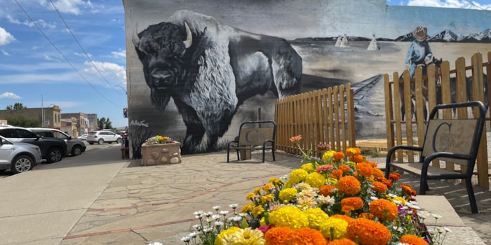
You know a place I don’t hear about too often? Harlowton, MT! I knew it was a cool town, but…
Read More
November 1, 2023
If you are a wintertime outdoor enthusiast, then Central Montana should be next on your list for a cold weather…
Read More
July 7, 2023
If you’re looking for a place to expand your horizons, literally and figuratively, then Central Montana needs to be at…
Read More