Neil Connection Trail
Harlowton, Montana
About Neil Connection Trail
Distance: 3.0 miles - light use
Trailhead: Trail Junction with Forest Road 270
Trail Ends: Trail Junction with Forest Road 8935 in Brooks Coulee
Neil Connection Trail (653) follows a primitive road along foot hills of Big Snowies from Brooks Coulee to Timber Creek, crossing East and West Fork drainages of Blake Creek. Provides access to Neil Creek Trail. The trailhead in Brooks Coulee has a stock ramp, feed bunker and parking area. Obtain a Forest Visitor's map for information on any travel restrictions. Motorized trail - open to ATVs and motorcycles.
Area Map: Lewis and Clark (Jefferson Division)
USGS Map1: Snow Saucer Coulee
USGS Map2: Yaple Bench
Township 11N; Range 18E; Section 8
Neil Connection Trail Activities
Bird Watching
Hiking
Motorcycling
Nature Area
Picnicking
Sightseeing
Walking
Wildlife Viewing
Neil Connection Trail Amenities
Trail
Neil Connection Trail Reservations
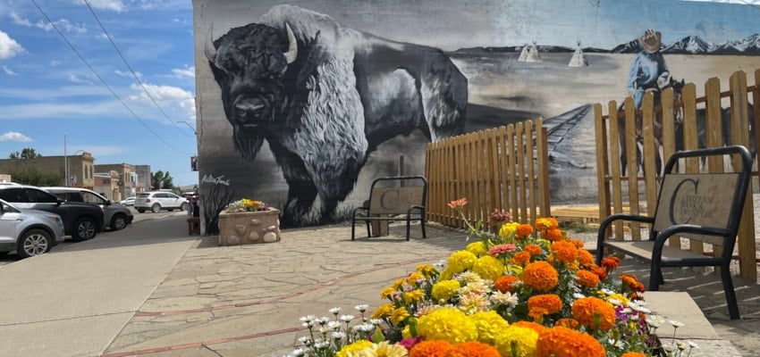
About Harlowton, Montana

Harlowton sits on the banks of the Musselshell River, just east of the Crazy and Castle Mountains and south of the Little Belts and Snowies. "Harlo" has gained fame in recent years for the Judith Gap Wind Energy Center north of the town. This ninety tower wind farm just off US Highway 191 is often... ...
Learn More about Harlowton