


Ice Caves Trail
Lewistown, Montana


About Ice Caves Trail
The Ice Caves Trail (455) climbs almost 5 miles to the permanent ice caves on the Snowy Crest. The first part of this trail climbs 3 miles to the top of the Snowy Crest and gains 2,200 feet in elevation. This portion of the hike is moderately difficult. Drinking water should be carried as none is available along the way. The next 2 miles the trail follows the flat open top of the Snowy Crest along Trail 490. This part of the trail is on the open ridge and is marked by cairns or small piles of rock. The Ice Cave is a limestone rock formation that remains cold enough to contain ice all year long. Water seeping into one 100-foot-wide cave freezes in columns or spreads across the floor to make the surface slick as an ice rink.
The view from the Snowy Crest is spectacular with the Absarokee Range (about 100 miles) to the south, on a clear day, it is even possible to glimpse the Grand Teton Range (about 220 miles) south, the Little Belts and the Crazy Mountains (about 60 miles) west, the Highwoods (about 70 miles) northwest, the Moccasins and Judith Mountains (about 40 miles) northeast and beyond these mountains are the Canadian Provinces of Alberta and Saskatchewan.
Length: 5 miles
Trail Begins: Campground
Trail Ends: Snowy Crest
Area Map: Lewis and Clark (Jefferson Division)
USGS Map1: Crystal Lake
USGS Map2: Jumpoff Peak
Ice Caves Trail Activities
Hiking
Ice Caves Trail Amenities
Ice Caves Trail Reservations
Season
Summer
About Lewistown, Montana
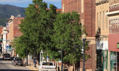
Lewistown sits at the geographic center of Montana. Originally a mining town and now largely agricultural, Lewistown captures both the rural and artistic nature of Montana. Known as the City of Stone, the original settlers were Croatian stone masons. Beautiful architecture constructed by early... ...
Learn More about Lewistown

