Kings Hill Scenic Byway
in Central Montana
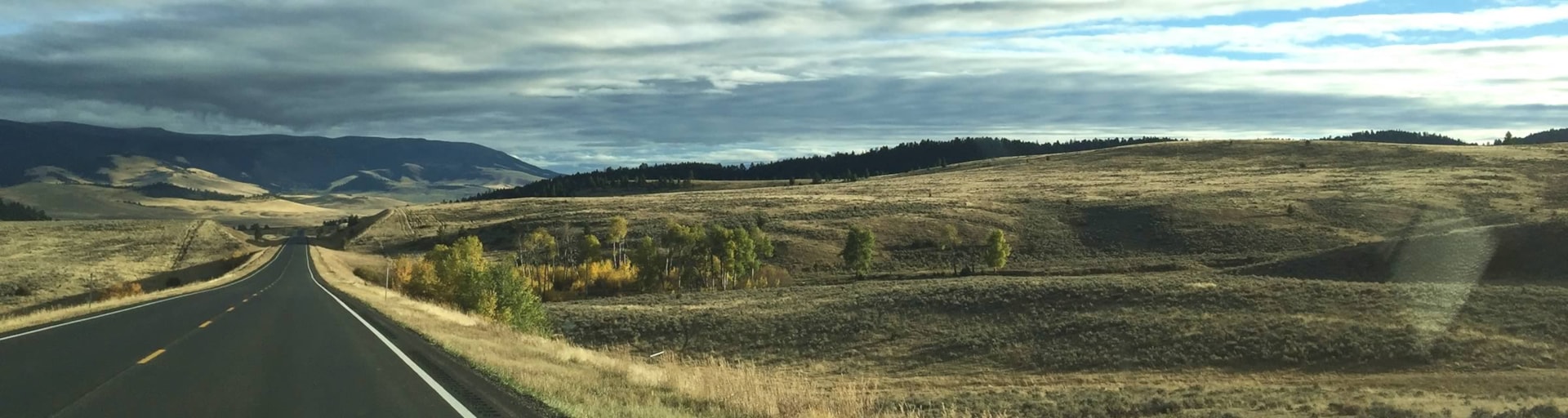
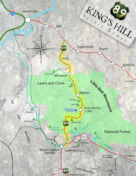
Passing through the Lewis and Clark National Forest and Little Belt Mountains, the Kings Hill Scenic Byway allows travelers to leisurely savor the rugged beauty and fresh air that are part of the Montana experience.
Stretching 71 miles along US Highway 89, the Byway winds its way along pristine mountain streams and is home to an abundant variety of wildlife. The gravel roads criss-crossing the main highway lead to 450 miles of spectacular mountain scenery, high country lakes, trailheads, campgrounds, and old mines.
Fishing, floating, mountain biking, horseback riding, downhill skiing and snowmobiling are just a few of the many activities available in this rugged country. There are 200 miles of marked snowmobile trails available from the Kings Hill area. Showdown Ski Area offers 34 downhill ski trails of varied terrain, rentals, lessons and a day use lodge. North of Kings Hill Pass, a Nordic ski area is available at Silver Crest with 17 miles of cross-country ski trails, one ungroomed and three groomed.
The Kings Hill Scenic Byway begins on US Highway 89 at its junction with US Highway 12. From the junction the Byway travels north through the Lewis and Clark National Forest to its junction with US Highway 87. Winter driving conditions can be difficult, check road conditions. Allow two hours time to leisurely drive this scenic route. Length of drive is 71 miles.
Download Printable Byway Map